Firehawk: Pioneering Accessible Technology for a Sustainable Future
Por dronelabadmin
Join Us for the Upcoming Webinar to Learn More! In the heart of La Chiquitania, Bolivia, the Firehawk Project took flight with a vision — a vision to harness technology and empower communities to take charge of their future. What started as a pilot project to showcase the potential of accessible information has ignited a spark that promises a brighter, more sustainable tomorrow. In this blog post, we delve into the journey of Firehawk, its mission, the incredible contributions from partners like Wingtra and Pix4D Cloud, and the unwavering support of the Municipality of Roboré, the Ministerio de Medio Ambiente y Agua, Autoridad Fiscalizadora de Bosques y Tierras (ABT), and Servicio Nacional de Aerofotogrametria (SNA), and the dedicated assistance and crucial funding from WeRobotics.
Firehawk: More Than Just a Name The name “Firehawk” was not chosen lightly. It encapsulates the spirit of the project — a majestic raptor, soaring high, with a vigilant eye for danger. Just as hawks scan the landscape for threats, Firehawk watches over the forests of La Chiquitania, protecting them from the scourge of wildfires. It represents vigilant guardianship and the promise of a safer, sustainable future.
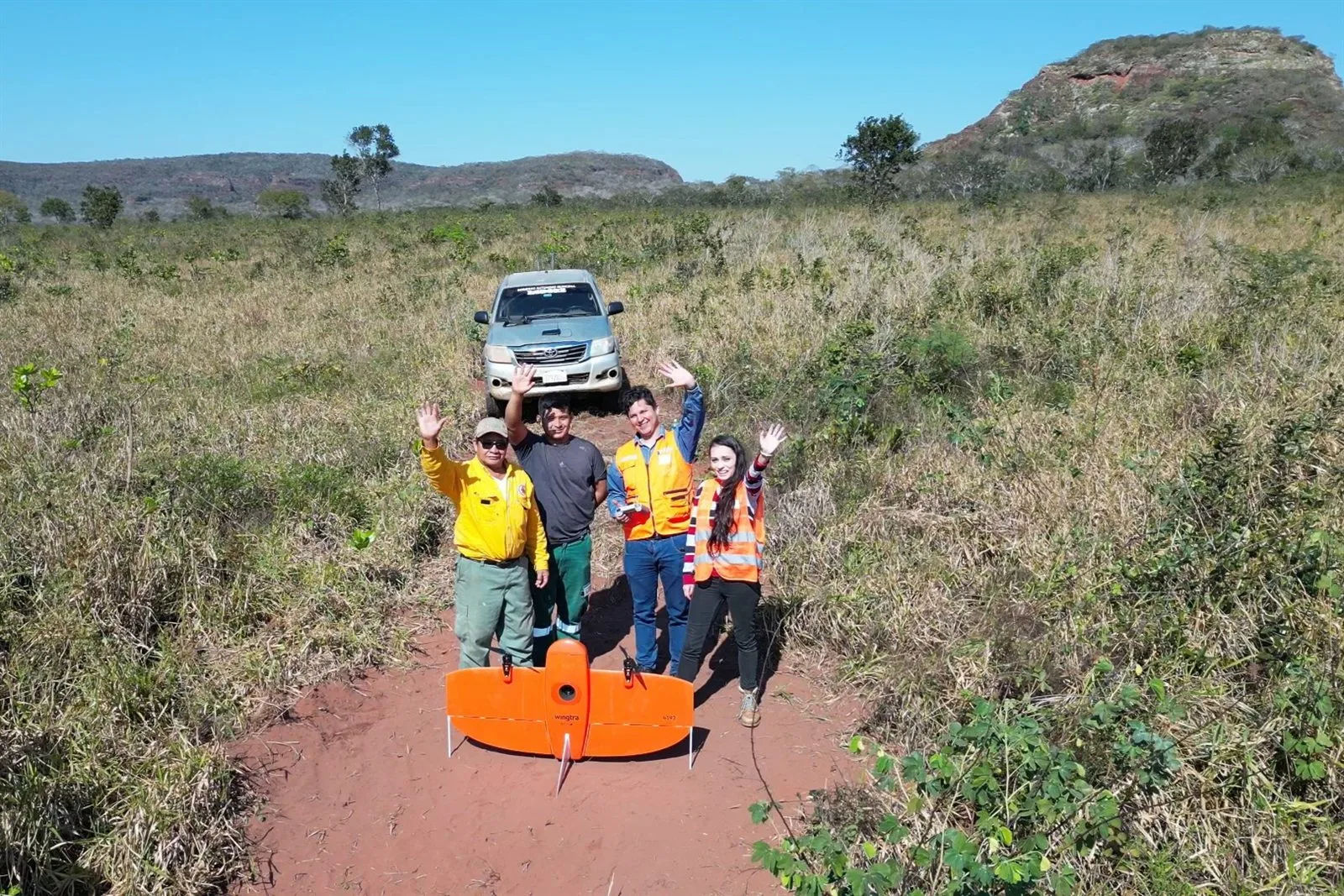
The Pilot Project The Firehawk Project began as a pilot, an experiment to demonstrate the incredible information that could be harnessed and shared. Central to its success was the invaluable contribution from our partners. Wingtra’s generous donation of the WingtraOne Gen II drone opened up a world of possibilities. This state-of-the-art drone provided us with the wings we needed to survey and document the Chiquitania region with unparalleled precision. But the hardware was only part of the equation. Pix4D Cloud stepped in with its powerful software, enabling us to process, analyze, and transform the data captured by the drone into easily accessible information. With Pix4Dcloud, we could create 2D and 3D models that enhanced collaboration and, most importantly, made the data accessible to all.
The Power of Accessible Information In the fight against forest fires and environmental challenges, accessible technology and information are not mere luxuries; they are lifelines. Firehawk demonstrates that to tackle complex issues, we need to democratize access to technology. The local communities, those who know the land and its risks best, must be at the forefront. It is our duty to provide them with the tools they need to act swiftly, to protect their environment, and to secure their future. Expert analysis underscores the crucial role of access to technology and information. In the case of Firehawk, it meant the ability to identify high-risk areas, to plan coordinated firefighting efforts, and to share critical information with local authorities. It meant putting the power to protect in the hands of those who call La Chiquitania home.
The Road Ahead Firehawk is just the beginning. It’s a glimpse of what’s possible, an invitation for others to join us on this transformative journey. Accessible technology and information can revolutionize the way we tackle environmental challenges, and the key to success lies in the involvement of everyone, especially the locals. The future of Firehawk is a future where everyone, no matter where they are, can access vital information on their smartphones. It’s a future where collaboration is not limited by borders, and where sustainable practices become a way of life. Join us in this journey to create a more sustainable and secure future. Stay tuned for updates, and don’t miss the upcoming webinar where we’ll dive deeper into the results, the vision, and how you can play a role in pioneering change.
Versión en Español: Halcón de Fuego: Pioneros de la Tecnología Accesible para un Futuro Sostenible En el corazón de La Chiquitania, Bolivia, el Proyecto Halcón de Fuego tomó vuelo con una visión: la visión de aprovechar la tecnología y empoderar a las comunidades para tomar el control de su futuro. Lo que comenzó como un proyecto piloto para mostrar el potencial de la información accesible ha encendido una chispa que promete un mañana más brillante y sostenible. En este blog, profundizamos en el viaje del proyecto Halcón de Fuego, su misión, las increíbles contribuciones de socios como Wingtra y Pix4D Cloud, y el apoyo inquebrantable del Municipio de Roboré, el Ministerio de Medio Ambiente y Agua, la Autoridad Fiscalizadora de Bosques y Tierras (ABT) y el Servicio Nacional de Aerofotogrametría (SNA), así como la asistencia dedicada y el financiamiento crucial de WeRobotics.
Halcón de Fuego: Más que un Nombre El nombre “Halcón de Fuego” no fue elegido a la ligera. Encarna el espíritu del proyecto: un majestuoso ave rapaz, surcando los cielos con un ojo vigilante ante el peligro. Al igual que los halcones escrutan el paisaje en busca de amenazas, Halcón de Fuego vela por los bosques de La Chiquitania, protegiéndolos de los estragos de los incendios forestales. Representa la vigilancia constante y la promesa de un futuro más seguro y sostenible.
El Proyecto Piloto El Proyecto Halcón de Fuego comenzó como un proyecto piloto, un experimento para demostrar la increíble información que se podía aprovechar y compartir. Fundamental para su éxito fue la valiosa contribución de nuestros socios. La generosa donación de Wingtra del dron WingtraOne Gen II abrió un mundo de posibilidades. Este dron de última generación nos proporcionó las alas que necesitábamos para inspeccionar y documentar la región de La Chiquitania con una precisión sin igual. Pero el hardware fue solo una parte de la ecuación. Pix4D Cloud intervino con su potente software, lo que nos permitió procesar, analizar y transformar los datos capturados por el dron en información de fácil acceso. Con Pix4Dcloud, pudimos crear modelos 2D y 3D que mejoraron la colaboración y, lo que es más importante, pusieron los datos al alcance de todos.